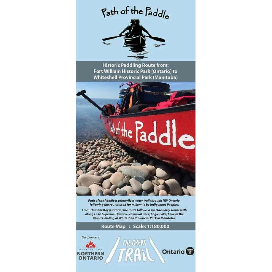

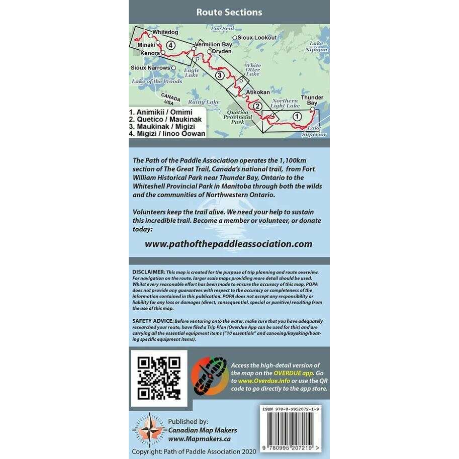
Path Of The Paddle Route Map
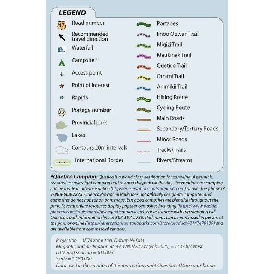
This route planning map covers the entire historic paddling route from Fort William Historical Park in Thunder Bay to Whiteshell Provincial Park in Manitoba. Includes portage locations and lengths as well as some of the many campsites available along the way.
-
Path of the Paddle is primarily a water trail through Northwestern Ontario, following the routes used for millennia by Indigenous Peoples.
- From Thunder Bay (Ontario), the route follows a spectacularly scenic path along Lake Superior, Quetico Provincial Park, Eagle Lake, and Lake of the Woods, ending at Whiteshell Provincial Park.
- Path of the Paddle is a section of the Trans Canada Trail
- Scale 1:180 000
Classified as Wilderness trail, the majority of these trails are for experienced paddlers and are located in areas with limited access. Each trail offers segments for less experienced travelers to enjoy. Every traveller should consult local sources and develop a travel plan to meet their needs and abilities.